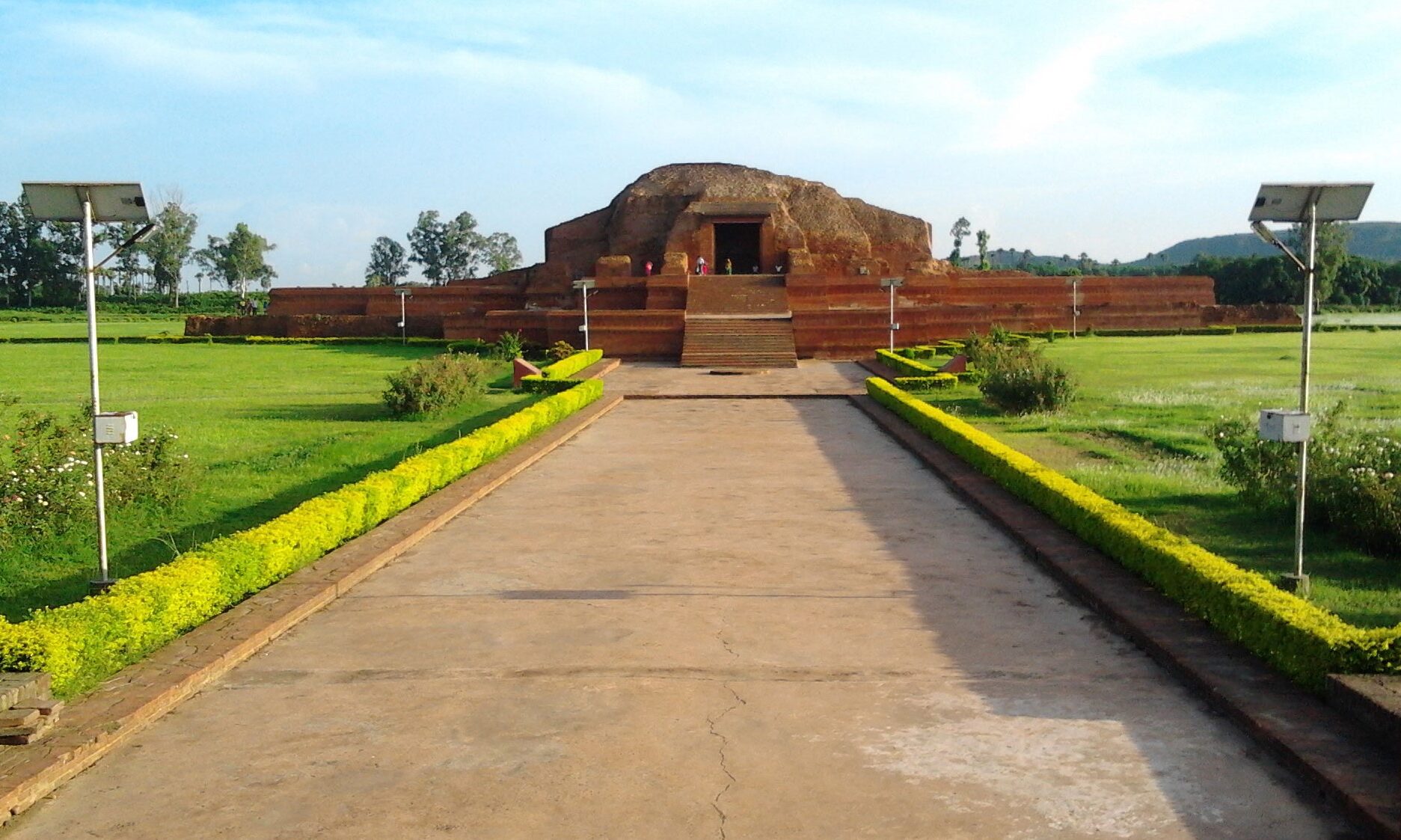
हवेली खड़गपुर, मुंगेर (Haveli Kharagpur) – Munger

Haveli Kharagpur is a town and One of the three subdivision in Munger district in the indian state of Bihar. Historically it was the centre of the medieval Kharagpur Raj chieftaincy.

GeographyHaveli Kharagpur is located at 25.12°N 86.55°E. It has an average elevation of 48 metres (157 feet). It is well connected from all three directions (the fourth i.e., the west side has the forest) only 20 kilometers from Bariarpur railway station in the north, 30 kilometers from Jamui railway station in the south and 14 kilometers from Tarapur in the east direction. It is close to Jamalpur Hills, its elevation is little higher than Munger, so it never suffers from flood. It is surrounded by small hills which gives the views to this city.

/*! elementor - v3.20.0 - 20-03-2024 */ .elementor-widget-divider{--divider-border-style:none;--divider-border-width:1px;--divider-color:#0c0d0e;--divider-icon-size:20px;--di…
Read more about हवेली खड़गपुर, मुंगेर (Haveli Kharagpur) – Munger
  • 0

जमुई (Jamui)

Jamui is a town and a municipality in Jamui district in the Indian state of Bihar. It is the district headquarter of Jamui district. Jamui was formed as a district on 21 February 1991 as a result of its separation from Munger. It is part of Munger Division.The town is situated about 60km South-West of Munger.

Historical existence of Jamui has been observed from the period of Mahabharta war. Archaeological and historical evidence shows its close association with the Jain tradition for a long past to the present time. A large part of this area is covered by forest.

/*! elementor - v3.20.0 - 20-03-2024 */ .elementor-widget-divider{--divider-border-style:none;--divider-border-width:1px;--divider-color:#0c0d0e;--divider-icon-size:20px;--divider-element-spacing:10px;--divider-pattern-height:24px;--divider-pattern-size:20px;--divider-pattern-url:none;--divider-pattern-repeat:repeat-x}.elementor-widget-divider .elementor-divider{displa…
Read more about जमुई (Jamui)
  • 0

जामताड़ा, दुमका (Jamtara) – Dumka

Jamtara (जामताड़ा) is a city and a notified area in the Jamtara Sadar subdivision of the Jamtara district in the Indian state of Jharkhand. It is the headquarters of the epynomous district, subdivision and community development block.

It came into existence on 26 April 2001. This small district of Jharkhand state consists of only four blocks. It was created by carving out four blocks from Dumka District.

Other towns in this district are Karmatar, Nala, Kundahit, Narayanpur, Fatehpur and Mihijam. 

The Ajay River passes through the district and forest areas cover the district.

Tourism

With rivers, cliffs and jungles, Jamtara is used by adventure tourists.

A number of hotels and small guesthouses have come up that serve a variety of cuisines.

Parwat Vihar Park is located 5 km from Jamtara Railway…

Read more about जामताड़ा, दुमका (Jamtara) – Dumka
  • 0

जमालपुर (Jamalpur)

Jamalpur in Bihar's Monghyr Disrict has one of the most remarkable Railway Workshops in the World, and the largest in India. Not even the US of A can surpass India's mammoth railway network, the busiest in the world. Jamalpur is a city and a municipality in Munger district in the Indian state of Bihar. Jamalpur is best known as a very large workshop on the East Indian Railway, employing over 30,000 people at one time. The town was established during the British Raj and the cultural hub at that time was the Railway Institute. The Railway Institute was huge - it had its own movie theatre, a six-lane swimming pool, eight tennis courts, four billiard rooms and a bowling lawn. Its dances were renowned and railway folk came from all over the East India Railway (EIR) to attend. Waterfall The waterfall is not a regular feature during the rainy season and usually a deer species known as neelgai in the local dialect is found near the same.The waterfall is approachable from the wat…
Read more about जमालपुर (Jamalpur)
  • 0