


Haveli Kharagpur is a town and One of the three subdivision in Munger district in the indian state of Bihar. Historically it was the centre of the medieval Kharagpur Raj chieftaincy.
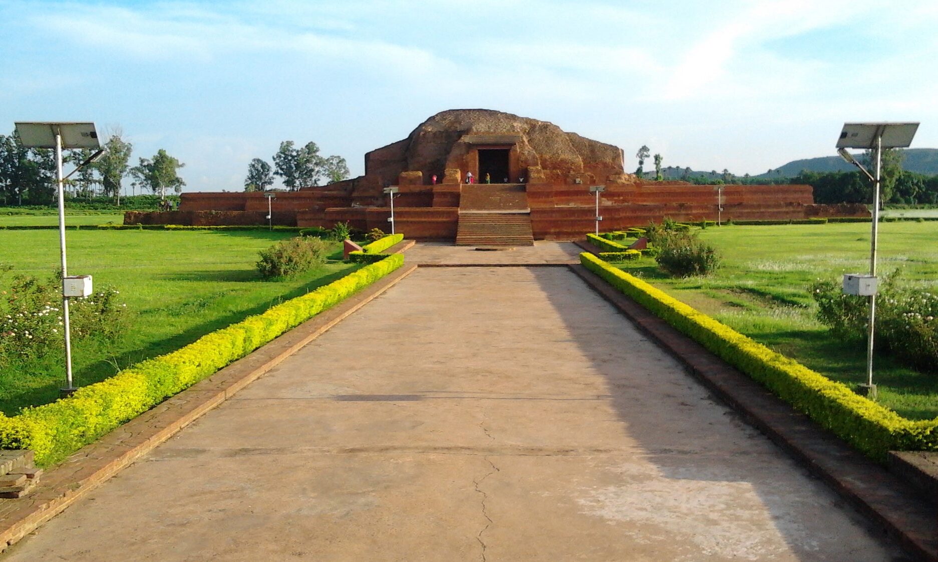
GeographyHaveli Kharagpur is located at 25.12°N 86.55°E. It has an average elevation of 48 metres (157 feet). It is well connected from all three directions (the fourth i.e., the west side has the forest) only 20 kilometers from Bariarpur railway station in the north, 30 kilometers from Jamui railway station in the south and 14 kilometers from Tarapur in the east direction. It is close to Jamalpur Hills, its elevation is little higher than Munger, so it never suffers from flood. It is surrounded by small hills which gives the views to this city.
/*! elementor - v3.20.0 - 20-03-2024 */ .elementor-widget-divider{--divider-border-style:none;--divider-border-width:1px;--divider-color:#0c0d0e;--divider-icon-size:20px;--di…