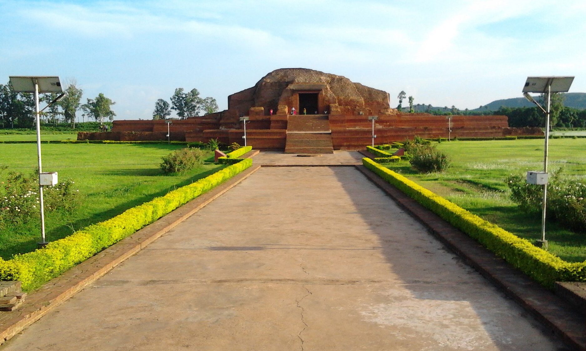
मंदार पर्वत, बाँका (Mandar Hills) – Banka
Mandar Parvat (Mandar hill) is a small mountain situated in Banka district under Bhagalpur division of state of Bihar. It is about 700 ft high and approximately 45 km south of Bhagalpur city. The mountain is famous as Mandar Hill. Mandar Hill is a great place of pilgrimage although it is not so well known now. On top of the hill there are two temple side by side belonging to Hinduism and Jainism followers.
The mountain has many references in hindu mythology known as mandarachal parvat. As per references found from Puranas and Mahabharata this hill was used for churning the ocean to extract the nectar from its bosom (Samudra Manthan).
HISTORY
At that time (606647 A. D.) the area was under the rule of the Khetauri kings of Mal origin and they were very antagonistic to the Buddhist monks. But Buddhism had another spurt in Anga during the Pala kings.Under Dharma- pala (c. 770810 A.D.), the son of Gopala, the frontier of the Anga empire touched the west of the S…
भागलपुर (Bhagalpur – The Silk City)
Bhagalpur (STD Code: 0641), a town of historical importance in the state of Bihar in the eastern part of India is situated on the southern bank of the Ganga river. Situated 220 KM east of state capital Patna and 410 KM north west of Calcutta. 25.07°N - 25.30°N latitude and between 86.37°E - 87.30°E longitude.
/*! elementor - v3.20.0 - 20-03-2024 */ .elementor-widget-divider{--divider-border-style:none;--divider-border-width:1px;--divider-color:#0c0d0e;--divider-icon-size:20px;--divider-element-spacing:10px;--divider-pattern-height:24px;--divider-pattern-size:20px;--divider-pattern-url:none;--divider-pattern-repeat:repeat-x}.elementor-widget-divider .elementor-divider{display:flex}.elementor-widget-divider .elementor-divider__text{font-size:15px;line-height:1;max-width:95%}.elementor-widget-divider .elementor-divider__element{margin:0 var(--divider-element-spacing);flex-shrink:0}.elementor-widget-divider .elementor-icon{font-size:var(--divider-icon-size…


