


A hill in the Kharagpur subdivision, situated in the Kharagpur Hills about seven miles north-east of Bhimbandh. There are several springs, known as Janam Kund, at the bottom of the hill, which form the source of the Anjan River. One spring, which issues at all seasons of the year directly from a crevice in the rock, is apparently that of which the temperature was tested by Buchanan in 1811. Mr.V.H.Jackson, making tests at different seasons, has found that its temperature varies from 147.2` to 149`.
/*! elementor - v3.20.0 - 20-03-2024 */ .elementor-widget-divider{--divider-border-style:none;--divider-border-width:1px;--divider-color:#0c0d0e;--divider-icon-size:20px;--divider-element-spacing:10px;--divider-pattern-height:24px;--divider-pattern-size:20px;--divider-pattern-url:none;--divider-pattern-repeat:repeat-x}.elementor-widget-divider .elementor-divider{display:flex}.elementor-widget-divider .elementor-divider__text{font-size:15px;line-height:1;ma…खरगपुर झील, मुंगेर (Kharagpur Lake) – Munger
The Kharagpur Lake was constructed by Maharaja of Darbhanga. The lake is situated at a distance of 3 kilometres from Munger town. The lake mainly used for irrigation purpose. The five princess waterfalls is another attraction of this destination, which is located close to the Kharagpur Lake. Beautiful nature and charming weather of this place attract many visitors.
/*! elementor - v3.20.0 - 20-03-2024 */ .elementor-widget-divider{--divider-border-style:none;--divider-border-width:1px;--divider-color:#0c0d0e;--divider-icon-size:20px;--divider-element-spacing:10px;--divider-pattern-height:24px;--divider-pattern-size:20px;--divider-pattern-url:none;--divider-pattern-repeat:repeat-x}.elementor-widget-divider .elementor-divider{display:flex}.elementor-widget-divider .elementor-divider__text{font-size:15px;line-height:1;max-width:95%}.elementor-widget-divider .elementor-divider__element{margin:0 var(--divider-element-spacing);flex-shrink:0}.elementor-widget-di…हवेली खड़गपुर, मुंगेर (Haveli Kharagpur) – Munger
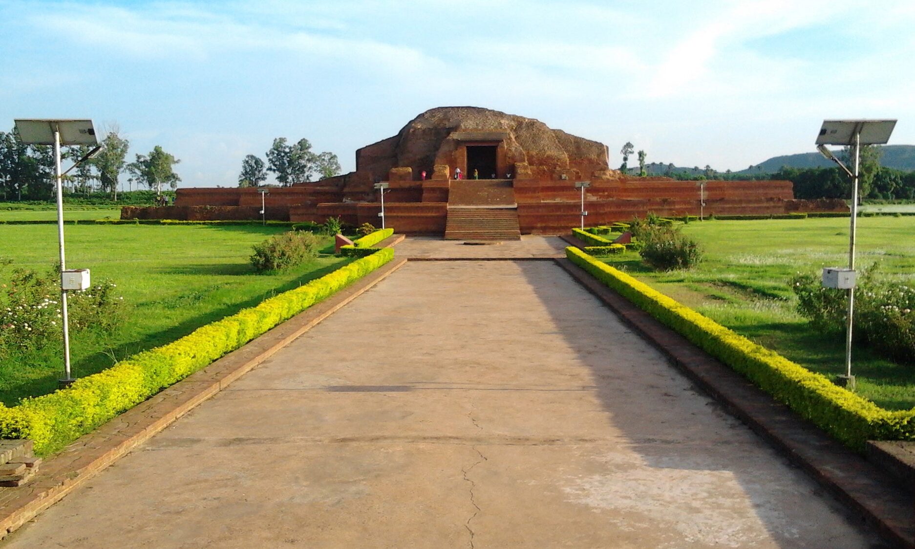
Haveli Kharagpur is a town and One of the three subdivision in Munger district in the indian state of Bihar. Historically it was the centre of the medieval Kharagpur Raj chieftaincy.
GeographyHaveli Kharagpur is located at 25.12°N 86.55°E. It has an average elevation of 48 metres (157 feet). It is well connected from all three directions (the fourth i.e., the west side has the forest) only 20 kilometers from Bariarpur railway station in the north, 30 kilometers from Jamui railway station in the south and 14 kilometers from Tarapur in the east direction. It is close to Jamalpur Hills, its elevation is little higher than Munger, so it never suffers from flood. It is surrounded by small hills which gives the views to this city.
/*! elementor - v3.20.0 - 20-03-2024 */ .elementor-widget-divider{--divider-border-style:none;--divider-border-width:1px;--divider-color:#0c0d0e;--divider-icon-size:20px;--di…मुंगेर (Munger/Monghyr)
Munger – The Details
Munger or Monghyr [both: mung´gir] is situated on the bank of Ganges River. It is a district administrative center and a grain market. The city has one of India's largest cigarette factories and a firearms industry that dates back to the 18th cent.
Munger is famous for its goldsmiths and silversmiths.
/*! elementor - v3.20.0 - 20-03-2024 */ .elementor-widget-divider{--divider-border-style:none;--divider-border-width:1px;--divider-color:#0c0d0e;--divider-icon-size:20px;--divider-element-spacing:10px;--divider-pattern-height:24px;--divider-pattern-size:20px;--divider-pattern-url:none;--divider-pattern-repeat:repeat-x}.elementor-widget-divider .elementor-divider{display:flex}.elementor-widget-divider .elementor-divider__text{font-size:15px;line-height:1;max-width:95%}.elementor-widget-divider .elementor-divider__element{margin:0 var(--divider-element-spacing);flex-shrink:0}.elementor-widget-divider .elementor-icon{font-size:var(--divid…