अंग पर्यटन – एक सिंहावलोकन

Area/City/Town Tourist Places Banka Durian , Indrabaran , Jesth Gaur math , Papharni Tank , Rupsa Bhagalpur 
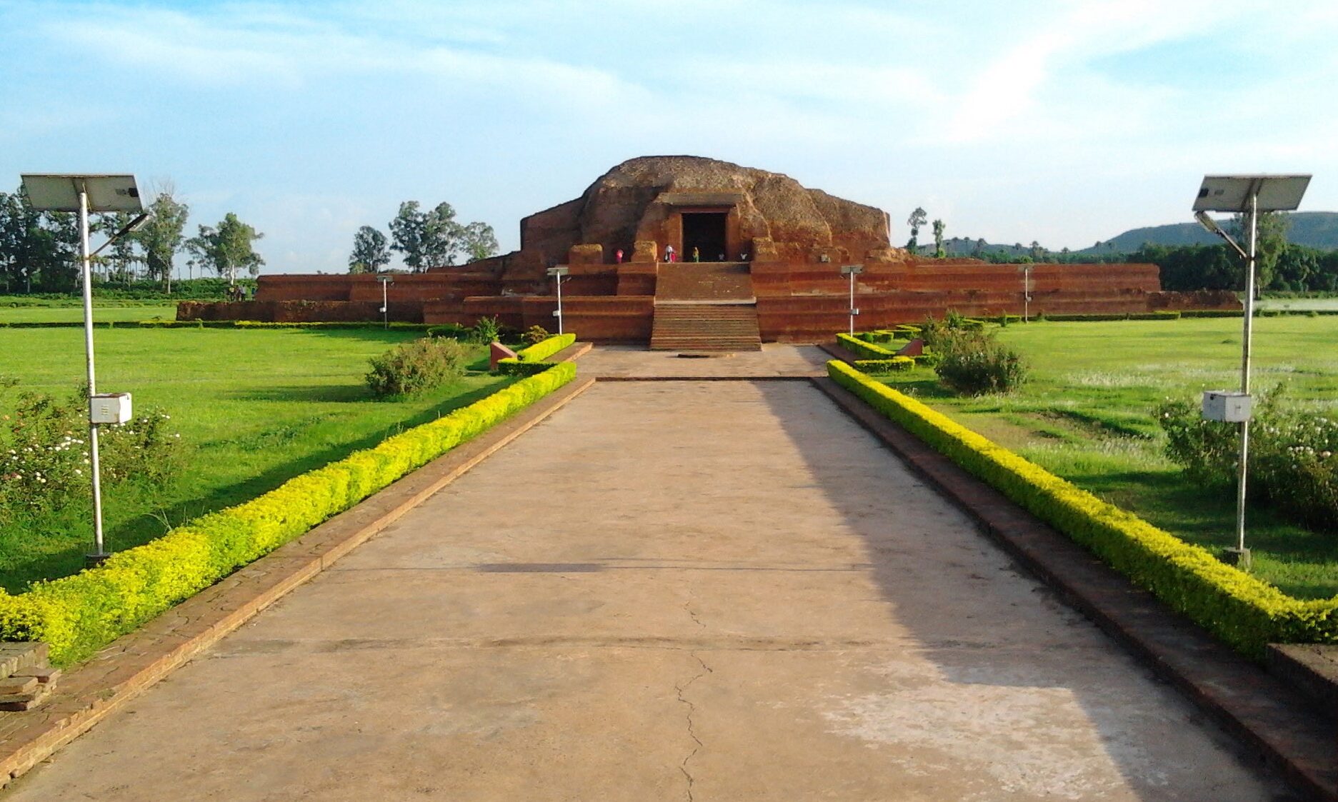
Patharghatta Hill , Shahkund , Sultanganj , Champanagar, Vikramshila Munger International Yoga University , Munger Fort , Tomb of Pir Shah Nufa , Palace of Shah Suja , Tomb of Mulla Muhammad Said ,Kashtaharni Ghat , Chandi Asthan , Rock carving , Kharagpur Lake , Rameshwar Kund , Pir Pahar , Sita-Kund , Shringhrishi ,Rishikund , Ha-Ha Punch Kumari , Uren ( Buddhist Ruins , Foot print mark and rock inscriptions , Stupa ruins near the footprint mark , The rock carvings near the Stupa site , Buddhist Monastery site at northeastern foot of the hill ), Rajaona ,Bhaduria-bhur , Bhimbandh , Malnipahar , Deoghara&nb…
Read more about अंग पर्यटन – एक सिंहावलोकन
  • 0

मुंगेर (Munger/Monghyr)

Munger – The Details Munger or Monghyr [both: mung´gir] is situated on the bank of Ganges River. It is a district administrative center and a grain market. The city has one of India's largest cigarette factories and a firearms industry that dates back to the 18th cent. Munger is famous for its goldsmiths and silversmiths. HISTORY The little town has nothing to show today for its long history except a Mughal fort and a temple, but it was once the capital of the ancient Anga kingdom. The British conquered Bihar in the battle of Buxar, which is nearby. According to tradition the city was founded during the Gupta dynasty (c.320–545 B.C.). The Muslim leader Mir Kasim Ali used Munger as a base during his war against the British in 1764. The history of Monghyr is, in fact, a chronology of battles. It begins with the Mahabharata that records the encounter of Bhim with the ruler of Modagiri (Monghyr's ancient name as mentioned in the Mahabharata) and concludes with the defeat o…
Read more about मुंगेर (Munger/Monghyr)
  • 0

भागलपुर (Bhagalpur – The Silk City)

Introduction

Bhagalpur (STD Code: 0641), a town of historical importance in the state of Bihar in the eastern part of India is situated on the southern bank of the Ganga river. Situated 220 KM east of state capital Patna and 410 KM north west of Calcutta.  25.07°N - 25.30°N latitude and between 86.37°E - 87.30°E longitude. 

/*! elementor - v3.7.2 - 21-08-2022 */ .elementor-widget-divider{--divider-border-style:none;--divider-border-width:1px;--divider-color:#2c2c2c;--divider-icon-size:20px;--divider-element-spacing:10px;--divider-pattern-height:24px;--divider-pattern-size:20px;--divider-pattern-url:none;--divider-pattern-repeat:repeat-x}.elementor-widget-divider .elementor-divider{display:-webkit-box;display:-ms-flexbox;display:flex}.elementor-widget-divider .elementor-divider__text{font-size:15px;line-height:1;max-width:95%}.elementor-widget-divider .elementor-divider__element{margin:0 var(--divider-element-spacing);-ms-flex-negative:0;flex-shrink:0}.elementor-widge…
Read more about भागलपुर (Bhagalpur – The Silk City)
  • 0