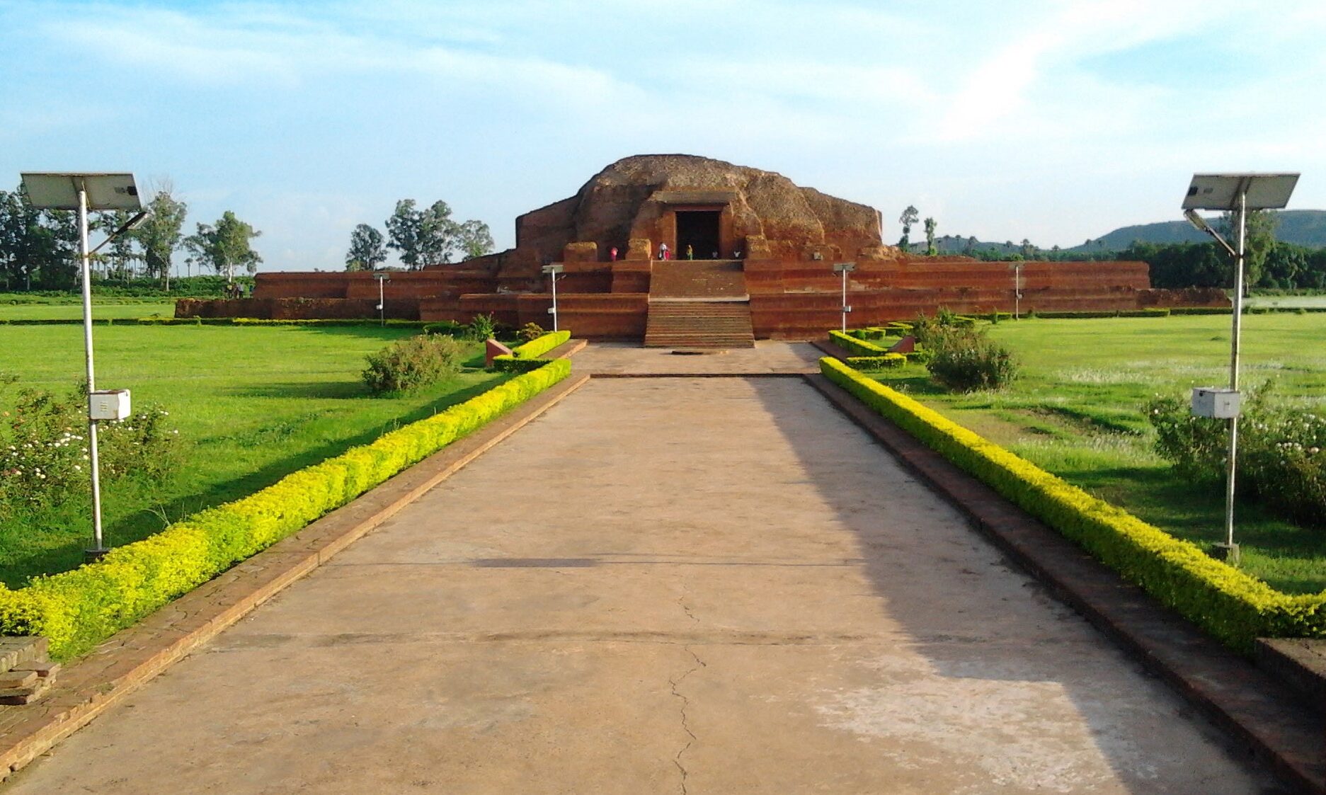
नील कोठी, राजमहल (Neel Kothi) – Rajmahal
Neel-kothi is a historical place and it is located at the heart of the city of Rajmahal. It was built by Englishman on 24 September 1796 to process and storage of Neel (Indigo) used for dying cotton cloth;
During British time, Rajmahal became part of the British program for an indigo cultivation. Those indigo fields are probably being used for growing rice, dals, other cereals and even mustard.
/*! elementor - v3.20.0 - 20-03-2024 */ .elementor-widget-divider{--divider-border-style:none;--divider-border-width:1px;--divider-color:#0c0d0e;--divider-icon-size:20px;--divider-element-spacing:10px;--divider-pattern-height:24px;--divider-pattern-size:20px;--divider-pattern-url:none;--divider-pattern-repeat:repeat-x}.elementor-widget-divider .elementor-divider{display:flex}.elementor-widget-divider .elementor-divider__text{font-size:15px;line-height:1;max-width:95%}.elementor-widget-divider .elementor-divider__element{m…मोती झरना, साहिबगंज (Moti Jharna) – Sahibganj
Moti Jharna is a natural attraction of Sahibganj District. The stream flowing in this place has its source at the Rajmahal Hills. This place is also a popular picnic spot of the district. Moti Jharna (pearl cascade) is the most picturesque waterfall in Sahebganj district, at the head of a picturesque glen of the Rajmahal hills. The water of a small hill stream tumbles over two ledges of rock, each 50 to 60 feet high.
Moti Jharna, SahibganjMoti Jharna is a village located in Talasari block of Sahebganj district of Jharkhand. The scene here is panoramic. As well as the root of water falling from the waterfalls entices the mind. Moti Jharna is located at 25.207144°N 87.726189°E and it has an area of 117 hectares (290 acres)
/*! elementor - v3.20.0 - 20-03-2024 */ .elementor-widget-divider{--divider-border-style:none;--divider-border-width:1px;--divider-color:#0c0d0e;--divider-ic…राजमहल की पहाड़ियां, साहिबगंज (Rajmahal Hills) – Sahibganj
The Rajmahal Hills are located in the Santhal Pargana division of Jharkhand, India. They were located on the northern margin of the Gondwana supercontinent, and its hills are today inhabited by the Sauria Paharia people whilst its valleys are dominated by the Santhal people. The hills span over an area of 2,600 km2 (1,000 sq mi).
/*! elementor - v3.20.0 - 20-03-2024 */ .elementor-widget-divider{--divider-border-style:none;--divider-border-width:1px;--divider-color:#0c0d0e;--divider-icon-size:20px;--divider-element-spacing:10px;--divider-pattern-height:24px;--divider-pattern-size:20px;--divider-pattern-url:none;--divider-pattern-repeat:repeat-x}.elementor-widget-divider .elementor-divider{display:flex}.elementor-widget-divider .elementor-divider__text{font-size:15px;line-height:1;max-width:95%}.elementor-widget-divider .elementor-divider__element{margin:0 var(--divider-element-spacing);flex-shrink:0}.elementor-widget-divider .elementor…बारादरी के खंडहर, राजमहल (Ruins of Baradari/Baradwari/Nageswarbagh) – Rajmahal
Baradari (Lat. 250 04‘ 31’’ N., Long. - 870 46’ 47’’ E.) is situated in Rajmahal, about 35 km from the district headquarter of Sahebganj and about 430 km from Ranchi, the capital city of Jharkhand. Baradari is also known as Nageswarbagh.
Baradari =, Rajmahal /*! elementor - v3.20.0 - 20-03-2024 */ .elementor-widget-divider{--divider-border-style:none;--divider-border-width:1px;--divider-color:#0c0d0e;--divider-icon-size:20px;--divider-element-spacing:10px;--divider-pattern-height:24px;--divider-pattern-size:20px;--divider-pattern-url:none;--divider-pattern-repeat:repeat-x}.elementor-widget-divider .elementor-divider{display:flex}.elementor-widget-divider .elementor-divider__text{font-size:15px;line-height:1;max-width:95%}.elementor-widget-divider .elementor-divider__element{margin:0 var(--divider-element-spacing);flex-shrink:0}.elementor-widget-divider .elementor-icon{font-size:var(--divider-icon-size)}.elem…
जामी मस्ज़िद, राजमहल (Jami Mosque / Hadafe Mosque) – Rajmahal
Jami Masjid, Rajmahal
The Jami Mosque (Lat. 250 04‘ 29’’ N., Long. - 870 46’ 46’’ E.) is located at Mangalhat, 7 km from Rajmahal and about 32 km from the district headquarter Sahibganj and about 480 km from Ranchi, the capital city of Jharkhand. Jami Mosque was built in the last quarter of the 16th century AD by Raja Mansingh, the Governor of Emperor Akbar.
/*! elementor - v3.20.0 - 20-03-2024 */ .elementor-widget-divider{--divider-border-style:none;--divider-border-width:1px;--divider-color:#0c0d0e;--divider-icon-size:20px;--divider-element-spacing:10px;--divider-pattern-height:24px;--divider-pattern-size:20px;--divider-pattern-url:none;--divider-pattern-repeat:repeat-x}.elementor-widget-divider .elementor-divider{display:flex}.elementor-widget-divider .elementor-divider__text{font-size:15px;line-height:1;max-width:95%}.elementor-widget-divider .elementor-divider__element{margin:0 var(--divider-element-spa…राजमहल का इतिहास (History of Rajmahal)
Rajmahal region was earlier ruled by Raja Mal sub-group of Mal Paharia tribes. Earlier this place was known as "Agmahal" and is surrounded by Rajmahal hills on one side and river Ganges on another side. The region was also known as 'Daman-i-Koh' during Mughal rule.
In 1576, Battle of Rajmahal was fought between Mughal Emperor, Akbar and Sultan of Bengal, Daud Khan Karrani of Karrani Dynasty. After war, Daud Khan was captured and later executed by the Mughals.
Later, after the conquest of Odisha in 1592, Raja Man Singh I, Mughal governor of Bengal Subah came to Rajmahal. He chose the site for his capital in 1595–96 because of its strategic command of the Teliagarhi Pass and the Ganges River. Raja Man Singh I, also renamed the town in 1595 as 'Akbarnagar' in tribute to Emperor Akbar and he also constructed palace, garden and mosque on behalf of Mughal rulers. In 1610, the capital of Bengal was transferred to Dacca (now Dhaka, Bangladesh) by Isla…
उधवा झील पक्षी अभ्यारण्य, राजमहल, साहिबगंज (Udhwa Lake Bird Sanctuary) – Rajmahal, Sahibganj
राजमहल, साहिबगंज (Rajmahal/Akbarnagar) – Sahibganj
Rajmahal is small sub divisional town in the Sahebganj districtof Jharkhand. The Rajmahal hills, which are geographically significant because they are the north east boundary of Daccan Plateau, are named after this place. The Holy river Ganga passes by the town of Rajmahal. The place is more significant because it is this place where the river Ganga while meandering thru Rajmahal hills takes turn from eastward flow to southward and then it enters into West Bengal.
/*! elementor - v3.20.0 - 20-03-2024 */ .elementor-widget-divider{--divider-border-style:none;--divider-border-width:1px;--divider-color:#0c0d0e;--divider-icon-size:20px;--divider-element-spacing:10px;--divider-pattern-height:24px;--divider-pattern-size:20px;--divider-pattern-url:none;--divider-pattern-repeat:repeat-x}.elementor-widget-divider .elementor-divider{display:flex}.elementor-widget-divider .elementor-divider__text{font-size:15px;line-height:1;max-width:95%}.elementor-widget-divider .elementor-di…अंग देश का इतिहास – नया राज्य (History of Ang Desh – The New State)
Throughout history, India has absorbed and modified to suit its needs, the best from all the civilizations with which it has come into contact. Once again the fledgling nation demonstrated the maturity and wisdom of its ancient traditions, and the truth of its claim that it was opposed, not to the people or the civilization of Britain and the West, only to its imperial domination. India chose to remain within the British Commonwealth of Nations. It also adopted the British system of Parliamentary Democracy, and retained the judicial, administrative, defence and educational structures and institutions set up by the British. India is today the largest and most populous democracy on earth, with universal adult suffrage.
The Indian Constitution, adopted when India became a Republic on January 26, 1950, safeguards all its people from all forms of discrimination on grounds of race, religion, creed or sex. It guarantees freedom of speech, expression an…


